|
RESTRICTED MATERIAL PERMIT MAPPING USING GIS
Parminder Mahli
Amercan River College
Geography 26, Spring 2000
Introduction
Five percent of the world's pesticides, and one-quarter of U.S. pesticides, are applied in California (Pease et al. 1996a; Aspelin 1994). California's agriculture industry accounts for roughly 90% of the state's total pesticide use - over 200 million pounds annually. An average of nearly 25 pounds of pesticide active ingredient are applied per acre of harvested cropland in the state. Total amount of pesticide active ingredients (AIs) reported used in 1998 for state of California was 214,309,347 pounds.
All pesticides are classified for either General use or for restricted use. Anyone can use a pesticide labeled for General use. However restricted use pesticides can only be purchased by someone certified to work with these pesticides. Any restricted material, with certain exemptions, shall be used and possessed for agriculture use only under a written permit of a county agricultural commissioner. The purpose of the restricted materials permit program is to assist the staff of each county agriculture commissioner in meeting the legal mandates for pesticide usage within California.
This project is intended to Demonstrate the applicability of Geographic Information System (GIS) technologies for mapping unique crop sites as defined in the California Department of Pesticide Regulation's Restricted Materials Permit Program (RMPP). The area of the study is the county of Sacramento.
Background
A permit is required to purchase and use California restricted pesticides. Applicants must be certified and provide a map of the intended site of application and surrounding sensitive areas that may be impacted by the use of restricted pesticides. Evaluation of the intended site of application, pesticide storage facilities and safety procedures is required before issuance. Permits may be conditioned to mitigate environmental impacts and worker health effects. Applications for a permit may be denied if environmental impacts or worker health effects cannot be mitigated or if the applicant is unqualified. Permits for agricultural use of pesticides are site and time specific.
Currently the permits are processed using Department of Pesticide Regulation's (DPR) Dataflex permit program. Dataflex Permit Program is a database management system programmed and customized by DPR to store, query and retrieve information about Permittee, Permitted Site, Commodity, Permitted Pesticide, Permit Conditions. In addition to the dataflex permit program all this information is maintained in Permittee's individual file with a copy of the map.
Methods
Utilizing Environmental Systems Research Institute's ArcView desktop GIS software Sacramento county Agriculture Department began identifying crop boundaries in a Geographic Information System (GIS) in 1999. Staff referenced various sources of hard copy maps and grower provided maps. The goal of this process was to integrate GIS mapping and spatial analysis with the existing Dataflex permit program. In addition, The Department obtained a variety of data sets from different sources. Including: street centerline data, 1995 panchromatic 10-meter SPOT satellite imagery, hydrology data, endangered species data, ecologically sensitive area data and township - range layer.
The field boundaries are digitized using available satellite imagery. A field boundaries or site is defined as a contiguous area which has only one operator and undergoes the same pest management and cultural practices, preferably consisting of a single commodity or use at a time.
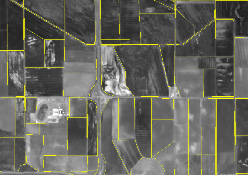
When permits are issued each site to be permitted is identified in the field boundary database and is linked to the grower's permit number. Linking the permit number and the site ID (Permit Number + Site ID) generates the unique identifier.
E.g. Permit Number.......34 2000 10 00001
Site ID....................Site 1A
Unique id.................3420001000001site1a
Results
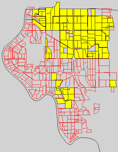
The Department can now use GIS as a tool that gives the ability to track information quickly and more accurately. Sensitive area information, compiled and integrated from the various sources, provides a more complete site by site environmental assessment. In addition GIS provides the ability to verify acreage for permitted commodities.
Attributes of field boundary database can now be joined to the existing dataflex table's to perform various queries. Here are some examples of queries that can be performed:
1. Query Part B (Refers to the site and commodity information for each permit) table to display the crop sites in which a particular commodity was permitted--
[Commodity] = "Rice"
2. Query Part A (Refers to grower information) table to display all registered sites of a particular permit holder--
[Permitee] = "A. Grower" (example)
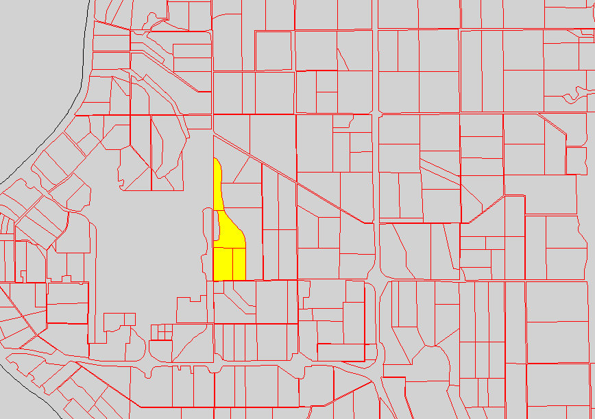
Identification of individual field sites allows the user to pick a specific site and determine the environmental and other agricultural conditions that surround it.
Conclusion
The computerized mapping and spatial analysis program will equip the Department with the tools to assess cropland site-by-site as biologists issue annual restricted materials permits. Identification of individual field sites allows the user to pick a specific site and determine the environmental and other agricultural conditions that surround it. This program will also build a history of land use in Sacramento County and allow for rapid and accurate analysis of cropping patterns at the individual field level.
References
Department of Pesticide regulation, Restricted Material Permit and Use Programs user's manual, January 01, 1996
Department of Pesticide regulation, Manual of Procedural Guidance for Pesticide Enforcement Personnel, June 24, 1999
Pesticide Watch, Pesticides and Agriculture
Sacramento County Imagery, Department of Pesticide regulation
Department of Pesticide regulation, Laws and Regulations Study guide
|