|
Spatial Data Acquisition for Health Facilities
Introduction
The Sacramento area is one of the fastest growing in the country. In about 10 years the boomer generation is about ready to retire. My report will focus on the health care facility ramifications for an older population.
This report examines the suitability for placing a new health facility in rural Sacramento county.
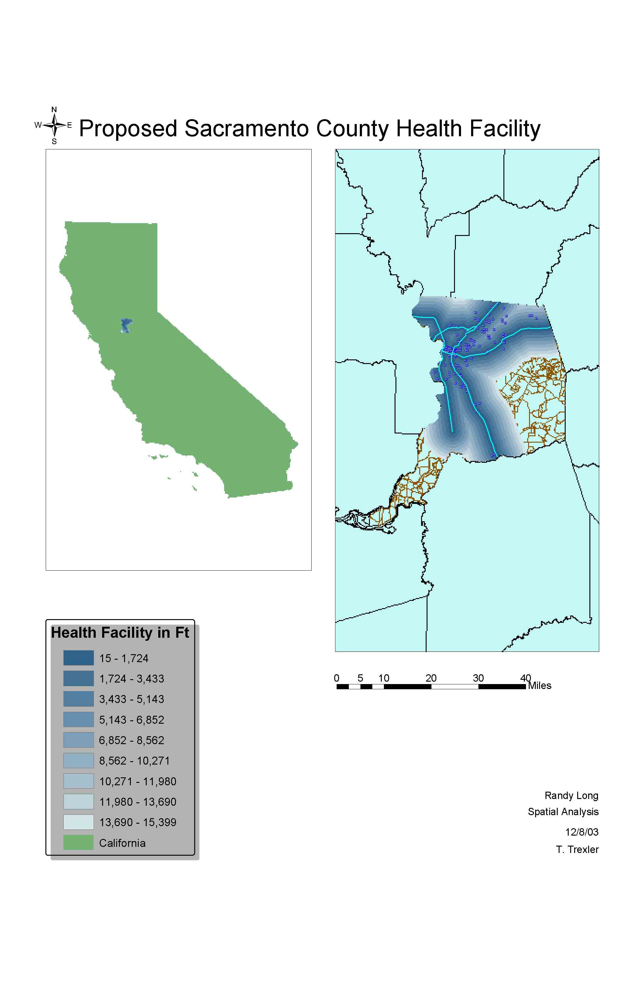
Factors: 1. Not near existing location
2. Distance to roads was less than 2miles.
Methods
Method: I used 3 datasets for this project.I downloaded Census Tract, Health Facility, and Major roads data from the Casil Web Site.
Results
The results for doing spatial/raster calculations was sketchy at best. Proposals for a new facility in rural Sacramento was not a feasible option. Land use was a key factor not accounted for in the initial analysis, due to data integrity problems.
Analysis
- This is a map of my analysis with the factors cited above.
Conclusion
The initial proposal for a new health care facility in rural/southern Sacramento was definitely an incorrect one. I feel that this project needed some other factors if time permitted. I would have liked to included vegetation/land-use data for Sacramento.
The idea that SACOG or a regional entity data set be part of this project would be a sound one. The six county Sacramento Metropolitan region needs to be included in a project like this one.
Randy Long
GIS
|