| Title Applying GPS to Recreational Adventures | |||||||
|
Author Lorrie Trukshyn American River College, Geography 350: Data Acquisition in GIS; Spring 2004 | |||||||
|
Abstract This project identifies several different recreational applications that hand-held GPS units can easily contribute, capture and record vital data to enhance outdoor experiences and personal athletic training programs. | |||||||
|
Introduction Ever forget where last year's perfect fishing spot was? Want to find that awesome, off the beaten track camping site again? Still wondering just how far you kayaked around a lake? Maybe you’re getting ready to run a marathon, a rowing competition or bike race. What ever it is, it’s always nice to get away from the hectic daily grind, run away from technology leaving the cell phones and TV’s behind. But next time you escape to the woods, the lake or train for an upcoming athletic sporting event, bringing along a high tech hand-held GPS unit might be just the perfect accessory! Let's take a brief look at how applying GPS technology during your next outing can assist you in capturing some vital data. |
 |
||||||
|
Background I grew up camping, hiking, fishing... you name it, I was there. The great outdoors have always been a part of my life. It seemed natural to me to apply my newly aquired knowledge of GPS technology to something I enjoy. In other words, any excuse to get close to nature works for me! | |||||||
As I learned the use of waypoints and tracking them with my GPS, a vivid thought, almost like a spark, ignited in my head. Hey, I thought to myself, this is way cool, I can create way points next time I'm out on a lake to mark a good fishing spot!! I'll be able to find the exact location again...hmm...then the flood gates opened. What about hiking, camping, kayaking? I'll never forget where I was and will always be able to come back to that perfect spot I found previously. Not to mention find my way back if I get lost, WOW! So I packed up the kids (my pups exactually) and off we went to the woods! 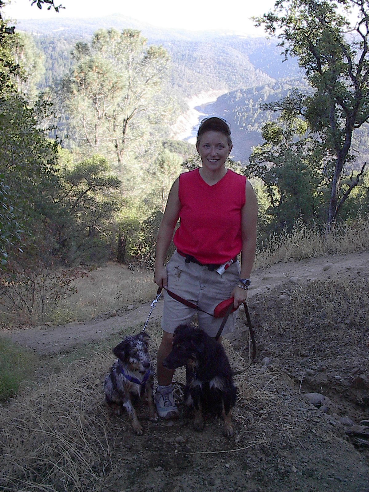 |
 | ||||||
|
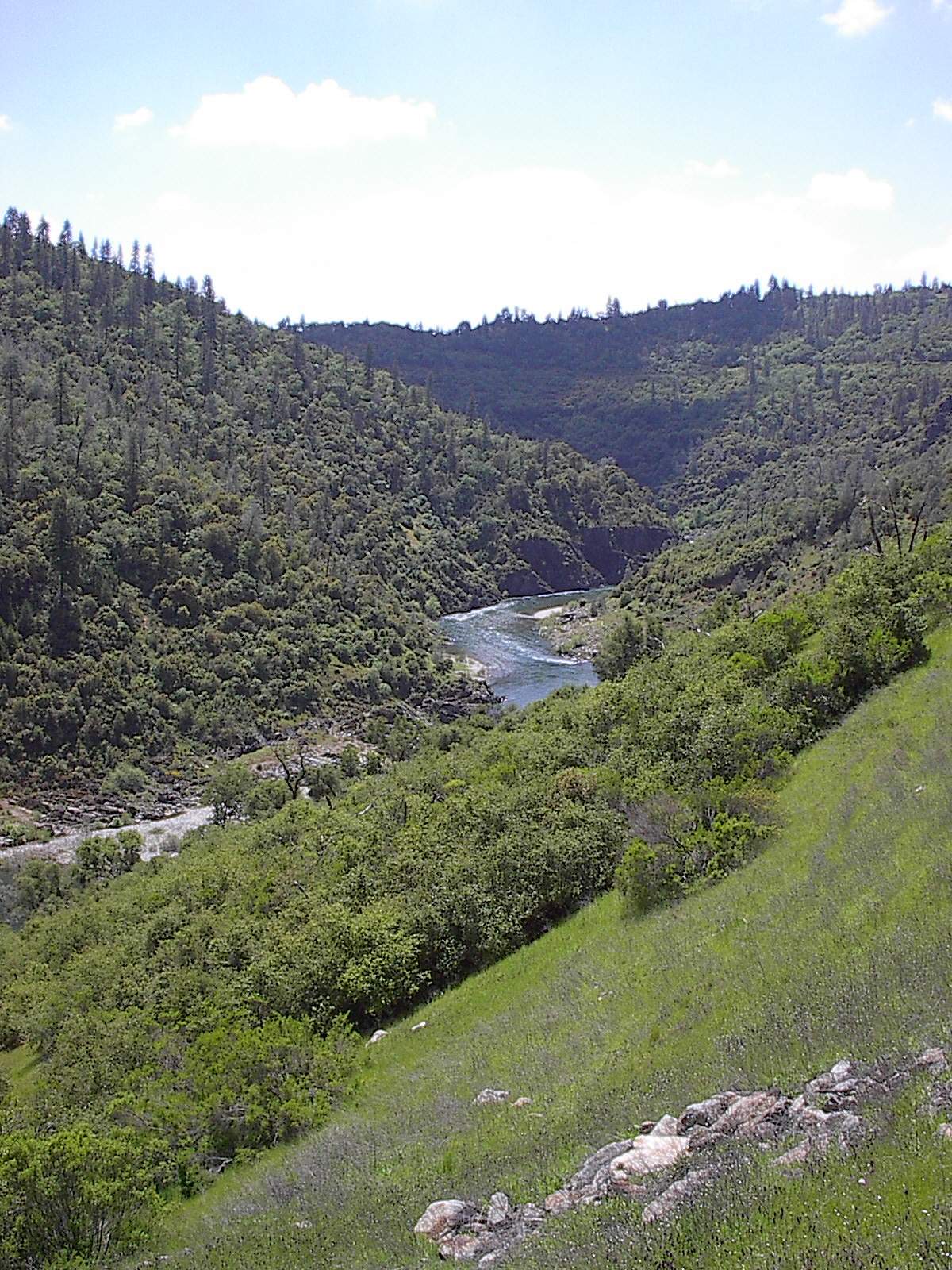
Methods I went on a quick trek to the American River to put the GPS to the test. I created a way point to mark my starting point. I chose "Cardiac Trail" in Auburn for the simple fact it's a five minute drive from my house. I discovered that my usual Saturday morning walk with the pups is 4.6 miles. When I measured the short walk following the canal the average distance was very close to 2 miles. The pups preferred the shorter trail because it gave them a chance the pounce around wildly in the water; Australian Shepherds have a lot of energy to burn so this project benefited them as well. I captured a bunch of data; coordinates, waypoints, tracking points, even elevation changes. With all my data in tow I made it back to the house to start my download. | |||||||
|
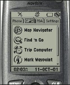
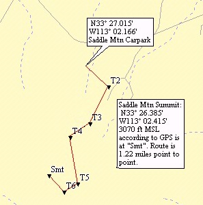
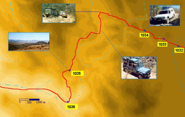
Results #@!#, I could not successfully download the GPS. Being that this is one of my first GIS classes, I'm in desperate need of more training to download and display my findings to an audience. With this set back aside, the GPS itself tells another story. I’m happy to report I was able to put all of my ideas to the test successfully! This little device will be very useful to me for future adventures. Here's what I found: The GPS worked beautifully at capturing data. 1. I successfully returned to marked points. 2. Collecting data on elevation changes proved to be valuable to friend who is currently training for a marathon. 3. My usual Saturday morning walk with the pups is 4.6 miles. 4. I kayaked a total of 7.2 miles (ok, maybe I floated for 2 of them) on my last outing. 5. I Successfully marked highly productive rainbow trout spots on Rollins Lake. Although I failed at down loading my own findings, I was successful practicing my data acquisition techniques in which I searched the internet to provide this project with some examples how you can further manipulate the captured GPS data. Below is a display of how you can transpose data such as waypoint, onto an existing map. | |||||||
 |
| Analysis I found that my initial ideas could be successfully captured utilizing a hand held GPS. I will sleep well knowing that my favorite fishing, camping, and kayaking adventures will never be lost due to my failing memory. 
| Conclusions I discovered I need more training in the download and transposing departments. I also realized, I don't get out nearly as much as I'd like to and more importantly, I need to buy one of these things! See you around the campfire!
| References GOOGLE.com/Image search engine utilized to download GPS display image and way point examples (Images had no copyright restriction advisements attached). | |||