Justin Murphy
American River College, Geography 350: Data Acquisition in GIS; Fall 2021
Contact Information: W066103@apps.losrios.edu
San Diego is known as America’s finest city. With an average temperature of about 71 degrees, San Diego is a popular destination for cyclists. I was interested to see what GIS data was available and could be incorporated into my existing Framework Theme Geodatabase.
San Diego has about 1700 miles of bikeways available to cyclists. What is a bikeway? Well, a bikeway is many different things. It includes bike lanes, bike routes, multiuse paths, bike boulevards and finally separated bikeways. The project was to include all existing and proposed bikeways into the Framework Theme Geodatabase.
As a bicycle commuter and a former resident of San Diego I wanted to incorporate a topic that I was passionate about and add more information to my Framework Theme Geodatabase map. When I lived in San Diego, I did not find it especially biker friendly other than the fact you are allowed to take your bike on the trolley. I wanted to see if San Diego had made any improvements in thirty years.
Using data from the SANDAG GIS warehouse I was able to incorporate three new layers into my Framework Theme Geodatabase. The first layer is Bike Routes 2020 which contains all the current bikeways in the county. The second layer is Community Bike Plan, which is a proposed plan to complete bikeways for the unincorporated parts of the county giving residents increased mobility and alternative means of transportation other than cars. The third layer is the Biking Master Plan for the city of San Diego. This layer includes all major bikeways, improvements, signage, support facilities, and 925 miles of new bikeways.
This Framework Theme Geodatabase now contains a comprehensive look at all the current and proposed cycling routes in the greater San Diego area.
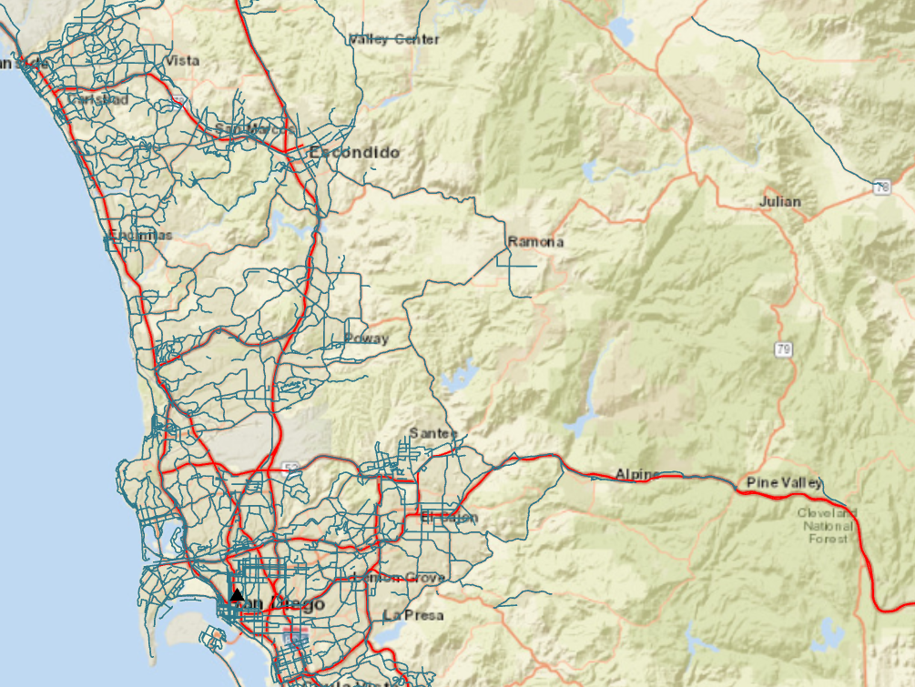
Bike Routes 2020
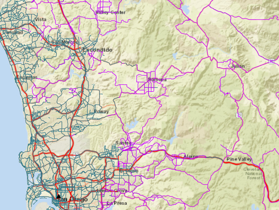
Community Bike Plan
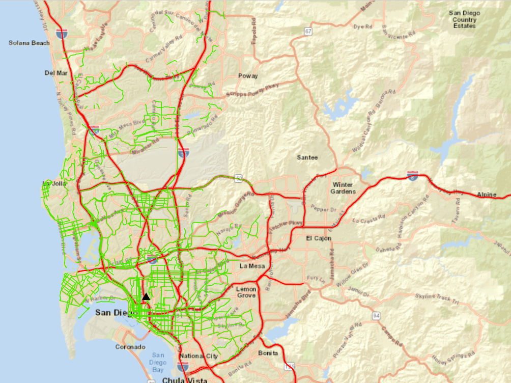
Master Bike Plan
I did not encounter any difficulties incorporating cycling data into the Framework Themes Geodatabase. SANDAG GIS warehouse is all inclusive in its data providing for all the 7 themes and then some. Each layer has its own PDF available separately from the layer with all the metadata you desire. The only requirement is setting up a username and password. Access is immediate.
While researching GIS cycling data in San Diego. I discovered large amounts of data that could be incorporated into a single map and provide an abundance of information to cyclists. This included maps of potholes which a can be deadly to cyclists. Another map displayed the most dangerous intersections for cyclist in the county and city. One map that I thought was very helpful displayed bikeways that are ranked by the cyclists’ stress level, often cyclists choose to go off the main designated bikeway because they feel it is too dangerous to travel. If all this available data was combined into one map available to the cyclist it would be beneficial to the cycling community. Overall, though, I was impressed by San Diego and its commitment to both cycling and to providing open access to GIS data.
SANGIS/SANDAG GIS Data Warehouse, San Diego's Regional GIS Data Source, icommuteSD.com, peoplepoweredmovement.org, Ian Skinner for HTML Design
None