Figure Two: Scotts Fire in False Color
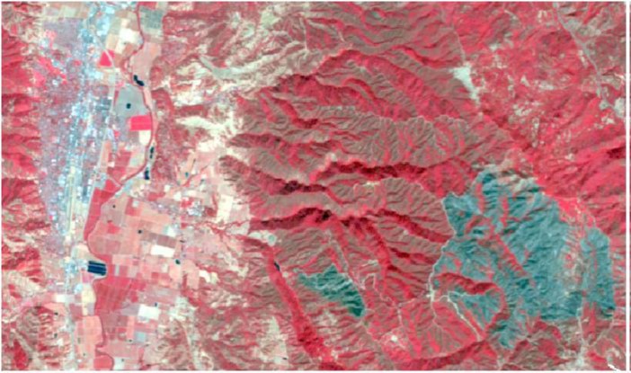
Figure Three: Scotts Fire in 543 Band Combination
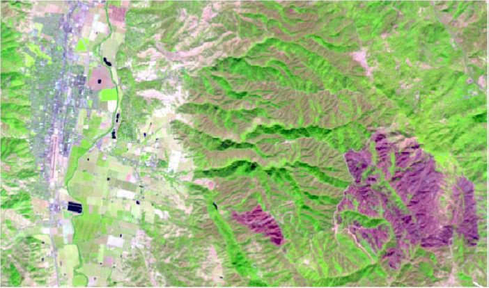
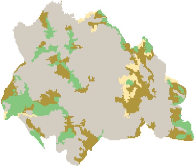
Figure Four: Classification of 9/3 Dataset Pre-incident
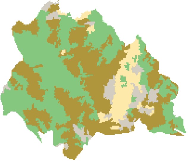
Figure Five: Classification of 9/19 Dataset Post-incident
Analysis
Even though a result was produced during this effort I feel its accuracy is not quite as precise as I want it. The total acres of 2,752.15 burned is probably higher given the data’s source. Satellite imagery only shows us a bird’s eye view. A tree canopy will cover what’s beneath it, therefor it is impossible to precisely say how much vegetation was actually lost. To obtain a more accurate assessment of total vegetation loss further analysis is required.
Conclusion
As technology continues to improve, I feel that we may see more and more data being captured. Maybe using air attack resources like planes and helicopters for data gathering. There is also a possibility for drone involvement. The more data we can collect increses the opportunity for better results generated from our analysis.
Data Sources
United States Geological Survey (USGS)
National Interagency Fire Center (NIFC)
CALFIRE