Forecasts: Deluxe southern Sacramento valley and the precise Davis forecast.
Forecast Details: NWS Sacramento's Area Forecast Discussion, or all California Discussions.
Current Conditions: ARC's current conditions, UCD's current conditions, SCC's current conditions.
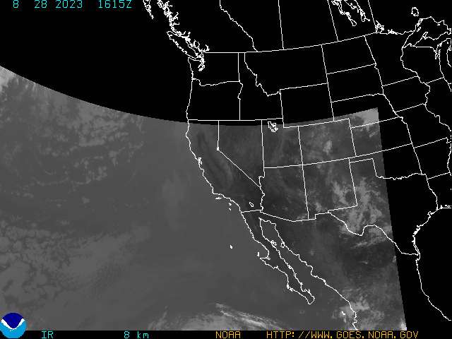
IR Images: infrared, enhanced IR, water vapor, enhanced IR #2 , enhanced IR #3, enhanced IR #4, GOES enhanced page, OSU's IR with topo, GOES full disk.
IR Images with Overlays: IR with surface pressure, 500 mb, 300 mb, jet stream, or fronts.
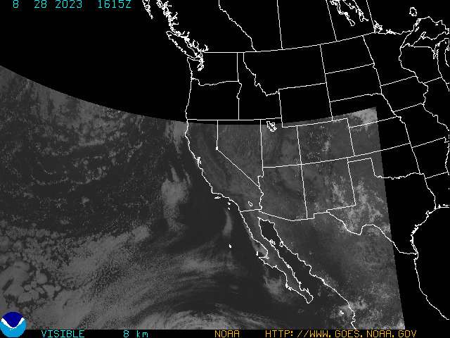
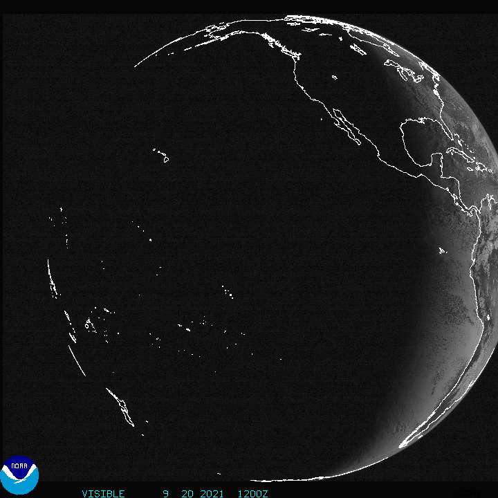
Visible Images: high (1 km), medium (4 km), and low (8km) resolution images, GOES full disk.
Movies: IR, enhanced IR, IR with front overlay, water vapor, and visible.
Radar: Sac NWS Radar page, Intellicast's NEXRAD, summary, regional, precipitation, and movie images for the Sacramento area.
Rain Information: precipatable water and false color images show potential rain, here is the precipitation forecast page and the observed precipitation page of the Sac NWS.
River Information: CDEC's and the NWS's
Links: NWS Sacramento, NWS Monterey, NWS Eureka, and NWS Medford offices, SSEC imagery, SFSU's and OSU's pages, INES/COLA's and UNISYS's forecast models, and here is John Aubert's Eye on Sacramento page.
Questions ? suggestions? broken links? Please e-mail me at thomsec at arc.losrios.edu. Take me back home.