Methods
Abstract / Introduction | Background | Results / Analysis | Conclusion | References
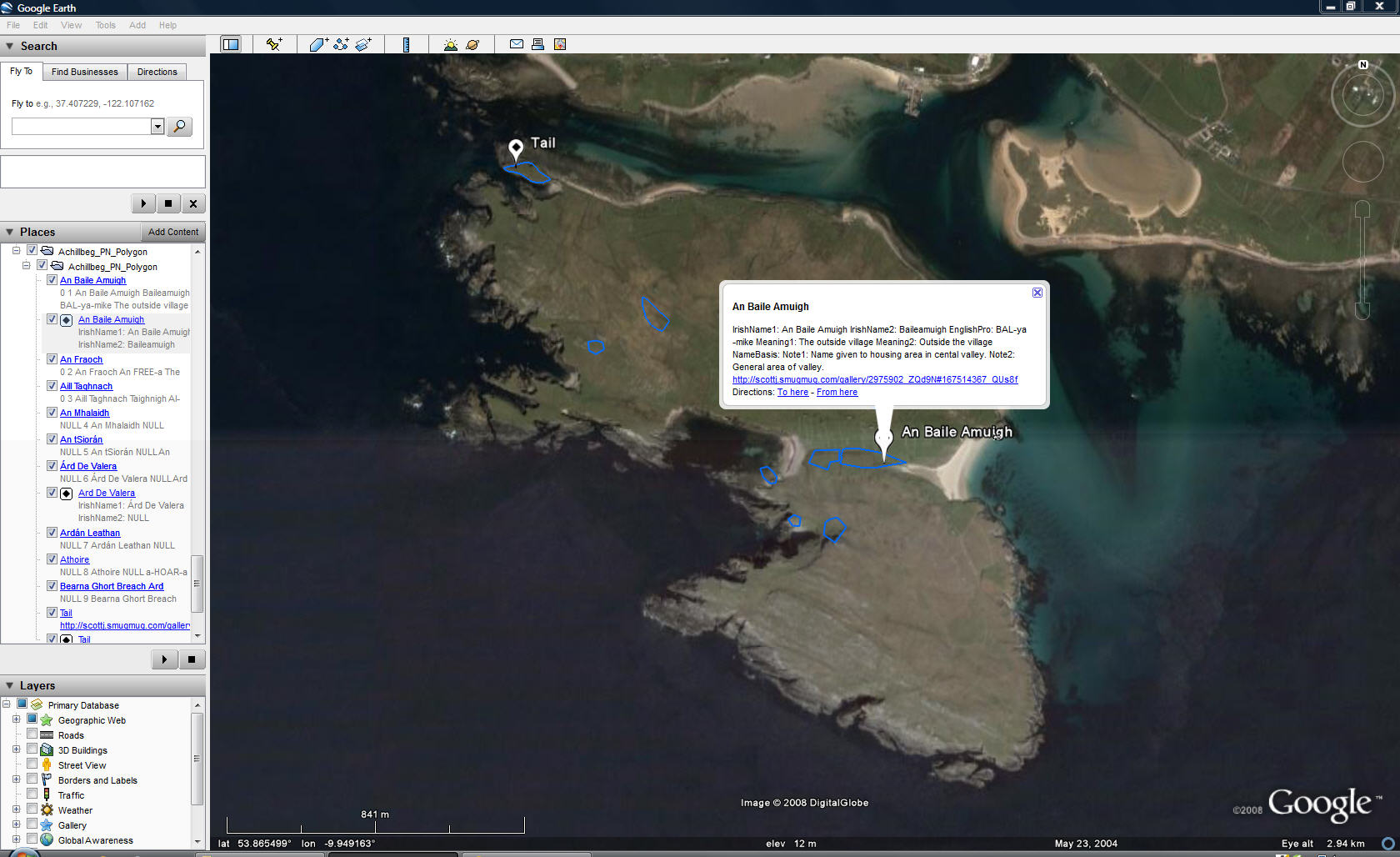
Software:ArcGIS Desktop v 9.2 Student Evaluation SP 5 Google Earth v 4.3784.3916 (beta) RoboGEO v 5.6.4 SNAGIT v 8.2.3 Data Resources:MapMart (http://mapmart.com/) - SRTM 90 m Resolution DEM - $15 OSi (Ordnance Survey Ireland) (http://www.osi.ie/en/homepage.aspx ) - Orthorectified TIFF - 125 2 year Academic License Achillbeg Life of an Island Jonathan Beaumont Oakwood Press 2005 permission to use map and tables requested of publisher/author - 20 Application ProceduresArcGIS DesktopUsing ArcCatelog created a File Geodatabase.
Set the coordinate projection system to the Irish Transverse
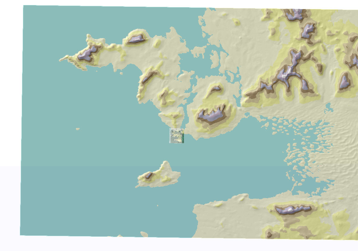
Mercator (ITM) In ArcMap added SRTM 90 m resolution DEM of the general Achill / Clew Bay region already ordered in ITM projection. Symbolized and hill shade effect added.
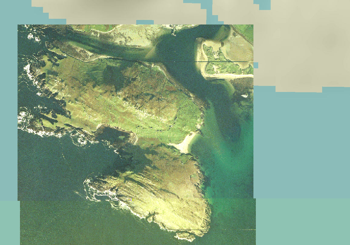
Added OSi orthoTIFF again in ITM. Of some note is that the TIFF file did not appear to be accompanied by any Metadata stored within the image despite having been purchased at some cost from OSi. Also noted is that the original TIFF when added to ArcMap had both apparent degradation in resolution and some banding artifacts that appeared in both the onscreen views and also the saved image. I am assuming that the georeferencing dictated by the accompanying world field caused these artifacts when the raster was subsequently interpolated.
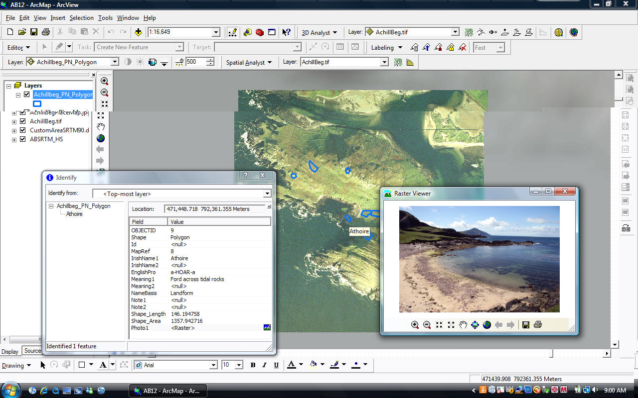
Created a polygon feature class within the geodatabase to be the place name layer. Attribute fields unique to this study and relate to the information from Beaumont:
|
|
